Expert Wetland Survey Services in Columbiana Al
Professional Wetland Survey Services by Southern Cross
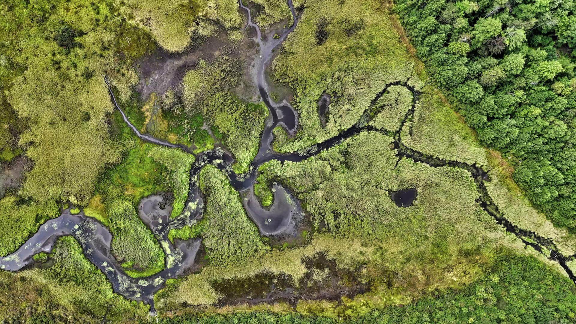
A wetland survey plays a crucial role in wetland management, protection, and restoration. At Southern Cross, we can provide accurate wetland mapping that is used by various sectors.
Importance of a Wetland Map
A wetland map provides vital information on the location, size, and possible types of wetlands. These maps are utilized by local, state, and federal agencies, as well as private industries and organizations for various purposes.
Role in Development Planning
When in the initial stages of planning a development, a wetland map assists with the environmental impact assessment and outlines proposed construction buffers. Furthermore, wetland maps can document environmental changes related to habitat studies, natural resource inventories, and wetland status.
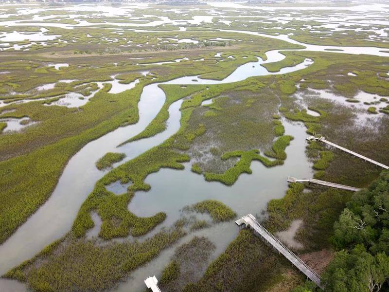
Our Wetland Survey Service
Once wetlands are identified by a qualified professional, our survey crews map the size, establish relevant elevations related to the area and the project. The wetland survey results are useful for permitting and evaluating the approach for development, including considerations for wetland credits through Wetland Mitigation Banking. For more information about the wetland credit system, you can visit the USDA website: USDA Wetland Mitigation Banking.
Serving Alabama and Beyond
We are proud to serve the entire State of Alabama and surrounding areas. To see if our company is qualified for your Wetland Survey project, call Clayton at (205) 685-5300!